Surveying for the future Palmer Station
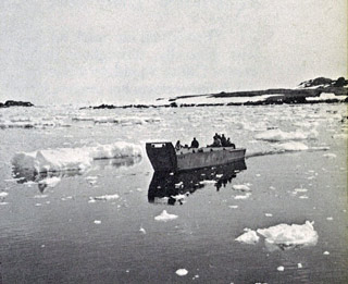
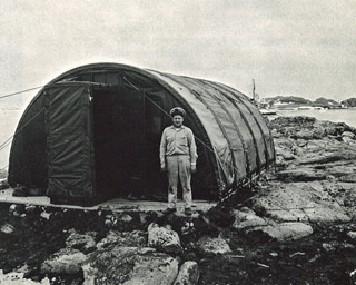
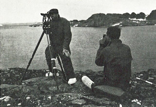
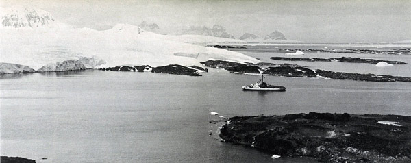 The Navy icebreaker Eastwind offshore of Gamage Point in January 1964 (note...this photo spanned two pages in the Eastwind cruisebook (see reference below) and I attempted to correct things and may try again--here's a larger version) In 1963-64 (DF-64) the Navy icebreaker Eastwind headed for the Antarctic Peninsula with two missions...one was to bring a 4-man team of Seabees from NMCB-8 to Anvers Island to survey prospective locations for an Antarctic station (the other was to do an Antarctic Treaty inspection of several peninsula stations). They headed for the Arthur Harbor/Bonaparte Point area (above photo). Of particular interest to Bill Spindler...the officer leading the Seabee survey team was Joe Henley...who would be my supervisor at the Washington DC Navy Yard on my first assignment (needless to say, when I proposed to him that I volunteer to winter with Operation Deep Freeze, he supported me wholeheartedly). Upon arrival, the survey team, along with members of the ship's company, offloaded supplies. The crew initially stayed at the BAS Base N hut near the eventual site of Old Palmer; later a Jamesway was erected on Bonaparte Point. | |
|
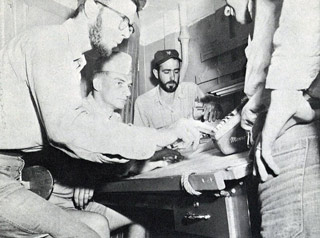
Although the Eastwind cruisebook did not name any of the NMCB 8 members, I recognize Joe Henley as the officer second from left in the above right photo. The source of these photos is the DF-64 Eastwind cruisebook, a digital copy of which was graciously sent to me by Michael Jacobs, who was the cruisebook editor. And I may yet get around to editing/posting more of the photos. An extract from the cruisebook containing much more information and many more photos from Anvers Island is here (sorry, it's 18 megabytes). And of course I have the full cruisebook file (92 mb) available on request. Next...a couple of aerial views of Gamage Point which may have been from the Eastwind cruise. | |
